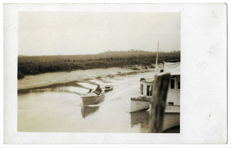
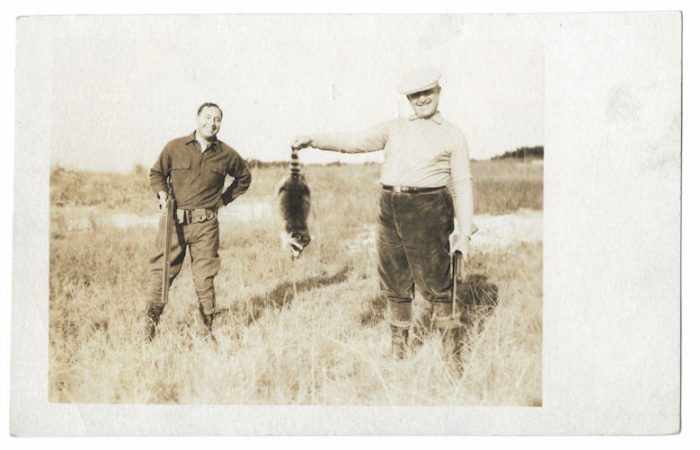
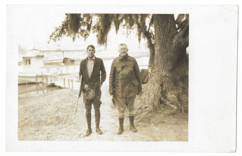
I was unable to reproduce the other cards in this series, but a buck and several hogs were among the other game taken on the trip.
I was unable to reproduce the other cards in this series, but a buck and several hogs were among the other game taken on the trip.
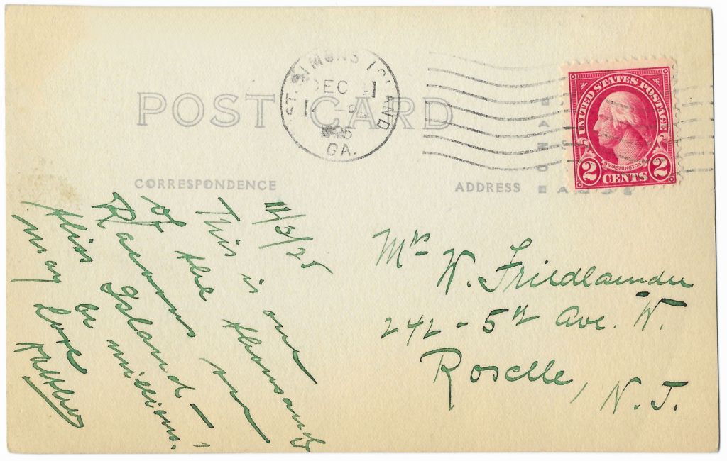
Filed under --GLYNN COUNTY GA--, St. Simons Island GA

Thomas Landing, on the South Newport River, has been occupied since the early days of Colonial Georgia and its history is indelibly linked to the hundreds of African-Americans who resided here. They first landed here against their will but after Emancipation chose to remain, only to have their land taken from them by the United States government in the 1930s.
Harris Neck National Wildlife Refuge
Filed under --MCINTOSH COUNTY GA--, Harris Neck GA

This is the Back River marsh [at high tide] on the north side of the F. J. Torras Causeway heading to St. Simons Island from Brunswick. I tried to find a name for the hammock, but couldn’t locate one. At this location, the Back River flows into Terry Creek and some of the residential marshlands of Brunswick.
Filed under --GLYNN COUNTY GA--

The Hampton River, sometimes referred to as Hampton Creek, is a 12 mile tidal river that forms the channel between St. Simons Island and Little St. Simons Island.
Filed under --GLYNN COUNTY GA--, St. Simons Island GA

Pine Harbor is first and foremost a fishing community. Nearly every property fronting the Sapelo River has a dock.

Whether simple or substantial, dockhouses dominate the views here.

Filed under --MCINTOSH COUNTY GA--, Pine Harbor GA

The Katie Underwood is the main ferry serving Sapelo Island. Its namesake, Katie Hall Underwood (1884-1977), was born on Sapelo and began working as a midwife in the 1920s. She assisted almost every birth on the island until retiring in 1968 and was among its most beloved citizens. She was the last in a long line of midwives who served Sapelo from slavery days onward. Mrs. Underwood lived in the north end at Raccoon Bluff but carried her black bag all over the island, to the scattered communities of Hog Hammock, Shell Hammock, and others. A story is told of her delivering a baby on the north end one morning and walking seven miles to the south end to deliver another in the evening. She is said to have never lost a child during delivery.

The ferry was dedicated on 28 October 2006. It was built by Geo Shipyard in New Iberia, Louisiana.
 The interior has seating for 102 passengers.

The boat is 70’9 3/4″ in length and has a maximum speed of 26.6 knots. It’s powered by two Caterpillar C-18 engines rated 700 hp.

A covered upper deck provides open-air seating for 48. 10 additional seats are located on the bow.

Filed under --MCINTOSH COUNTY GA--, Sapelo Island GA

Like all roads on Sapelo, the road to Cabretta Beach is devoid of even a stop sign and it’s usually a rough ride.

One of the prettiest views on the island is Blackbeard Creek as seen from the wooden bridge, built by the Department of Natural Resources.

Blackbeard Creek separates Cabretta Beach from Blackbeard Island, which is visible in the distance from the bridge.

Filed under --MCINTOSH COUNTY GA--, Sapelo Island GA

African-Americans were baptized in this swamp beginning in the 1840s. It’s just downstream from a well-known fishing and swimming spot known as Round Hole and was likely chosen for its proximity to that natural landmark.

Baptisms were first performed on enslaved persons by white members of the nearby North Newport Church. When the white congregation moved to Walthourville in 1854, the slaves renamed the church First African Baptist Church and continued ritual baptisms here until the 1940s. Some of their descendants are the Geechee people who still live nearby.

Today, the Historic Baptismal Trail has been memorialized as a public park with a boardwalk, including signage identifying plants and trees that were historically important to the community.
Filed under --LIBERTY COUNTY GA--, Riceboro GA

Views of the Skidaway River from Bluff Drive are among Isle of Hope’s most appealing qualities, emblematic of the slower pace that residents enjoy.

Bluff Drive and the surrounding little streets are truly among the most idyllic neighborhoods in Savannah.

Filed under --CHATHAM COUNTY GA--, Isle of Hope GA, Savannah GA

